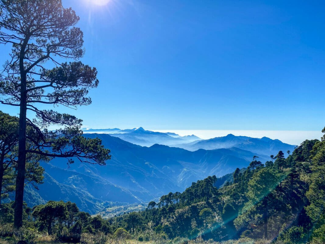
The captivating country of Guatemala boasts an impressive landscape of lush rainforests, stunning lakes and over 30 volcanoes. Nestled between the Pacific and the Caribbean, backpacking in Guatemala is a true adventure. It’s one of my favourite places I’ve ever been to. No trip to Guatemala would be complete without climbing at least one of the country’s fiery volcanoes. In this post, I’ve shared six of the volcanoes you can climb in Guatemala.
When planning my first ever backpacking trip, there was one country at the very top of my list – Guatemala. My friend has visited the year prior and shown me photos of Guatemala’s most famous attraction, the erupting Fuego. Seeing the mighty Fuego erupt quickly made its way to the top of my bucketlist.
Turns out, there are several volcanoes which you hike in Guatemala. This takes a lot of planning, so I opted to join a tour operated by Much Better Adventures. The idea of the tour is to hike 5 volcanoes in Guatemala in a week. It was a challenge, but one of the best I’ve ever done.
Related read: The best places to visit in Guatemala
Whether you choose to join the tour or do it by yourself, climbing Guatemala’s colossal volcanoes is a great way to get a real feel for Guatemalan culture and life. The volcanoes in the list will take you off the main tourist route and get you more immersed in Guatemalan culture. It’s a beautiful country and there is so much to explore.
Hiking volcanoes in Guatemala is a popular activity and avid hikers are drawn here to take on the challenge. In the below list, you’ll find 6 volcanoes you can hike in Guatemala with their location and a bit about each hike. Check out my ultimate list of everything to do on a backpacking trip to Guatemala.
Read next: Is Guatemala safe for solo female travel? Tips to stay safe.
The Pacaya Volcano
Location: Near Antigua
Distance: Around 3.5 miles / 5.6km
Elevation change: 400 metres / 1300ft
How to visit: arrange a tour through a local tour operator or your accommodation
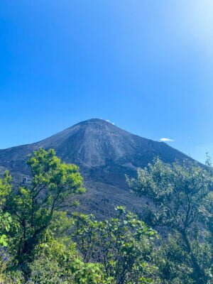
The Pacaya volcano is the easiest volcano hike on this list, but it still requires a bit of work. Pacaya is still active, with its most recent eruption only back in 2021. The hike takes you through the freshly formed lava fields and gives some fantastic views of the area.
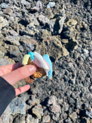
One of the coolest things about this hike is that the lava is still warm in some places. You can roast marshmallows in these spots. The guides also warned us not to keep our shoes in the same place for too long as they could start to melt. It’s a unique hike and well worth doing, even if you’re planning one of the bigger volcano hikes below.
It’s now mandatory to have a guide to visit Pacaya, so your best option is to book a tour through your accommodation or with a local operator in Antigua. It’s a popular activity and will be easy to arrange.
Your day will start with the drive to Pacaya. The drive gives you a fantastic taste of the gorgeous Guatemalan scenery. When you arrive, you’ll see the steam coming out of the top of the volcano. This was my first time seeing volcanic activity in this way – it was amazing.
From the drop-off point, it takes around 60-90 minutes to get up to the main lava field. From there, you’ll walk across the tough lava to a lunch spot. This is also where you can try roasting marshmallows on the lava that’s still warm. When I visited, there was also a group cooking pizza under the rocks.
Walking on the lava rock is quite hard work. It’s often loose and can be sharp on the feet. But overall, the hike isn’t too difficult and is doable for anyone with a reasonable fitness level.
Tip: take some cash with you to tip your guides. There was also a local family selling jewellery made from the lava.
Acatenango Volcano (to watch Fuego Erupt)
Location: Near Antigua
Distance: 8.5 miles (14km)
Elevation gain: 1600 metres / 5200 feet
How to visit: arrange a tour through a local tour operator or your accommodation
Probably the most famous volcano hike in all of Guatemala (and the world) is the overnight hike up Acatenango. This is an absolute must-do on any visit to Guatemala. My friend told me about this hike, and it was the reason I went to Guatemala.
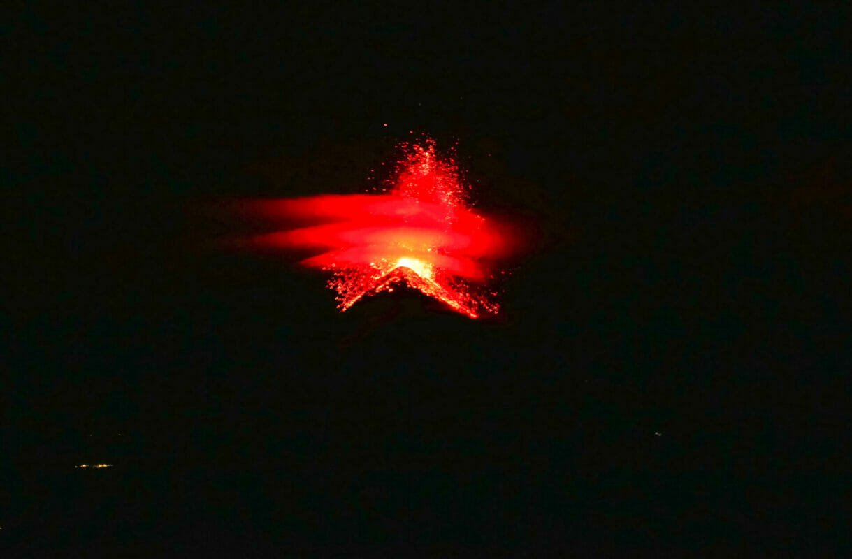
What’s so special about this hike you ask? Imagine resting at base camp – after watching the sunset at 12,000 feet in elevation, a volcano throws lava and ash into the air, lighting the sky up red. It’s a life changing experience.
The hike starts with a 6 to 8 hour hike up Acatenango to base camp. This part of the hike isn’t exactly spectacular. You’ll start by walking through farmland and then up through a forest. This is an extremely challenging walk. It’s not technical, but it’s very steep and feels never-ending. Once you’re above the trees, you’ll be pleased to hear the hike flattens out a little as you make your way to base camp.
Base camp is about 3,600 metres (12,000 ft) above sea level. It boasts magnificent views of Guatemala including the star of the show – the erupting Fuego volcano. The Fuego volcano is only about 1.5 miles (2.5km) from Acatenango, so you have a front row seat to watch the show. Fuego consistently erupts every 10-15 minutes, throwing lava and ash into the atmosphere.
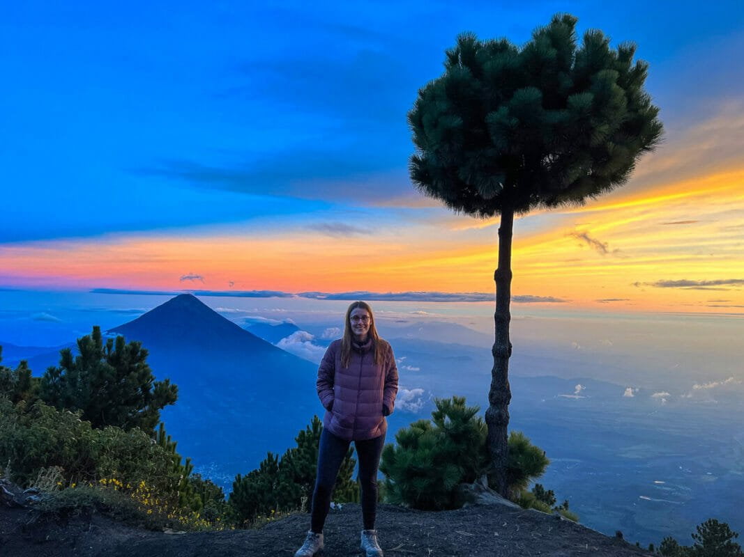
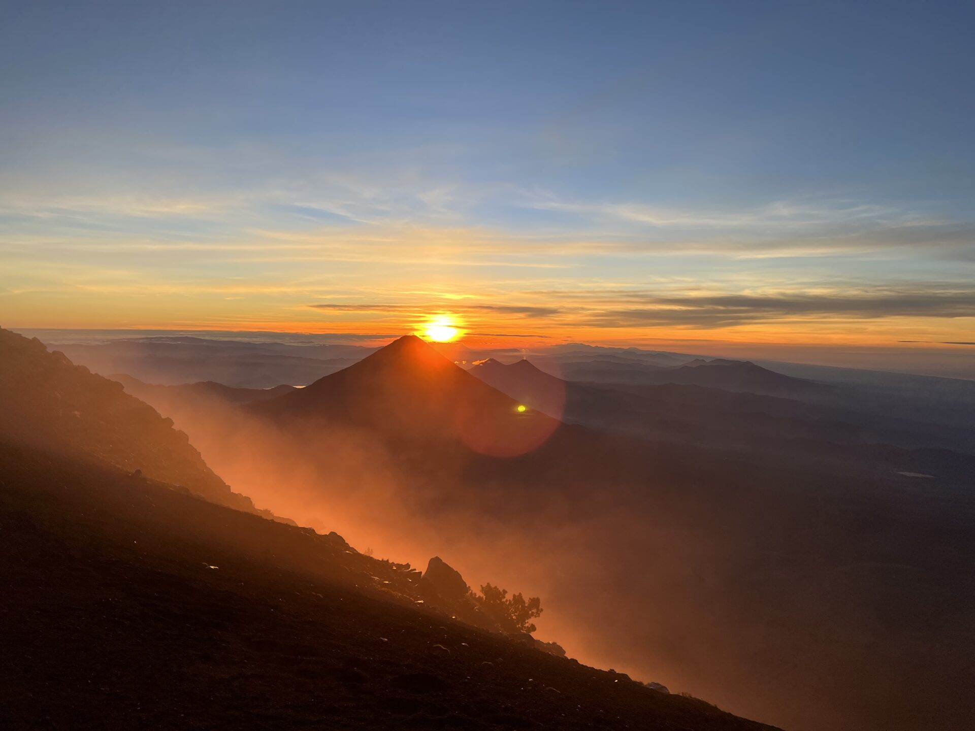
You can see it during the day, but the real magic begins after sunset when the sky turns dark. This is when the red of the lava really shows. I’m not saying this lightly, but it was a life changing experience. After watching the eruption, the idea is to get some sleep ahead of climbing to the summit of Acatenango the following morning for sunrise. But you’ll be lucky to sleep with the sound of the nearby Fuego erupting.
At around 4am, it’ll be time to start the final push to the summit. This was the hardest part of the climb for me. A lot of the track is ash and it’s VERY hard to walk on. Keep pushing on – I promise it’s worth it.
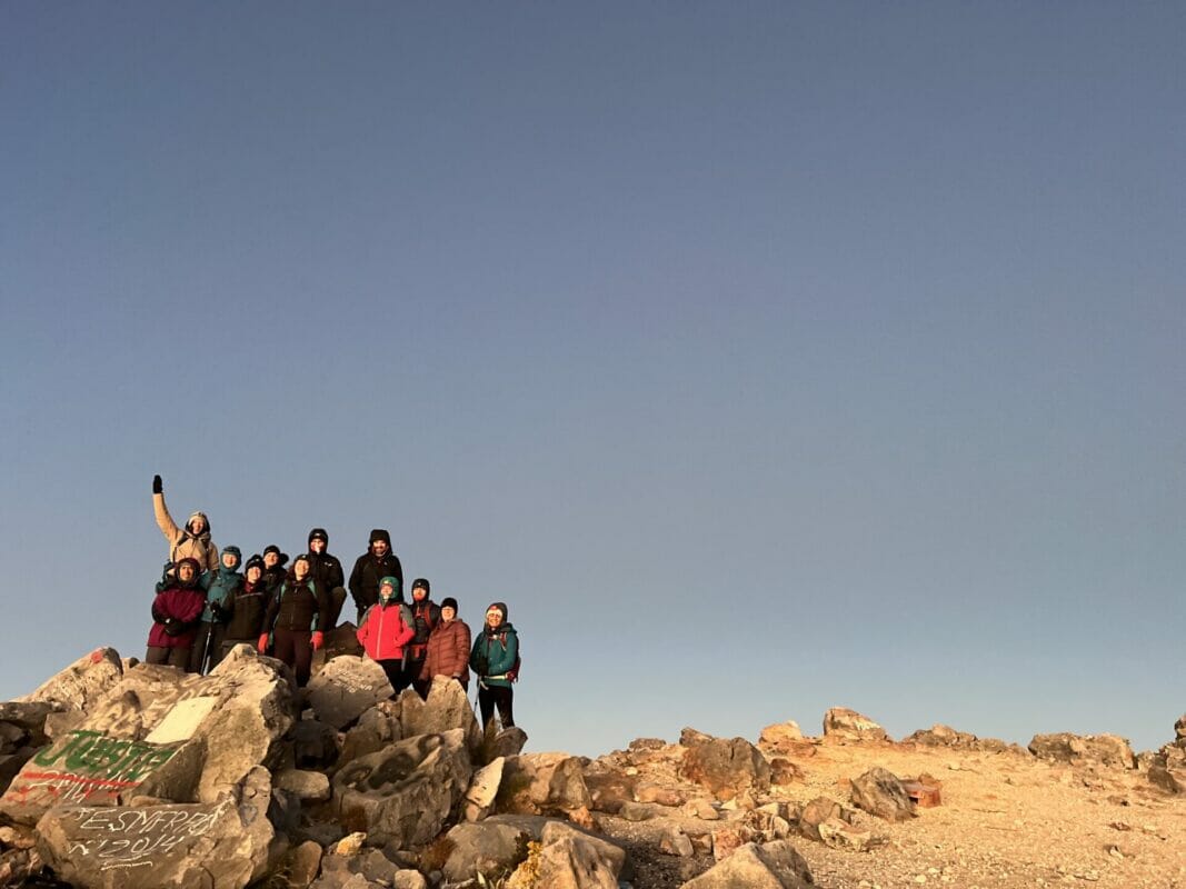
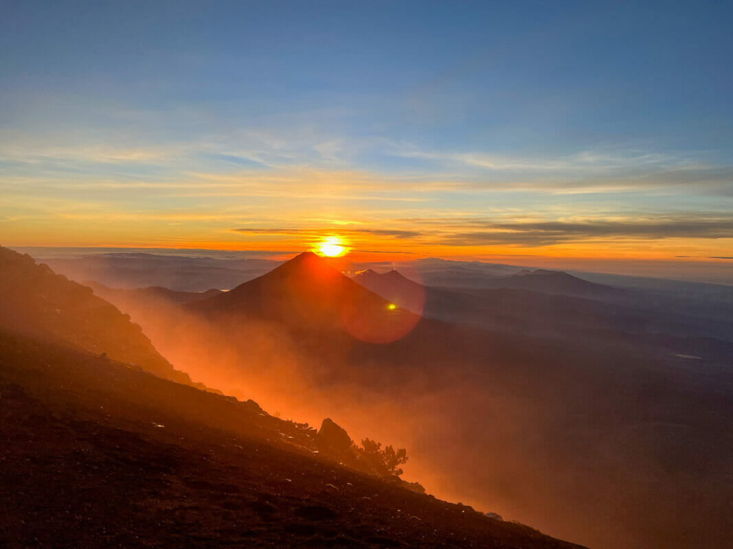
Once you reach the summit, you’ll be rewarded with full panoramic views and one of the best sunrises I’ve seen in my entire life. After spending some time at the top, it’s time to head back down the volcano back to Antigua.
The hike is no easy feat, it’s challenging, especially when you’re contending with the altitude. However, you don’t need to be an experienced hiker to do this track. As long as you have a good fitness level, you’ll be fine. If you’re going to push yourself and do one hike in Guatemala, make it this one.
I’m working on a guide to hiking Acatenango – in the meantime, there’s a brilliant guide with all the information here.
The Santa Maria Volcano
Location: Quetzaltenango
Distance: 5 miles (8km)
Elevation gain: 1200 metres (4,000 feet)
How to visit: arrange a tour through a local tour operator or your accommodation (you can do by yourself, but it’s not recommended)
Next up on my volcano hiking trip in Guatemala was the Santa Maria Volcano. This volcano is near the town of Quetzaltenango, about a 3-hour drive from Antigua.
I’d never heard of this volcano, but hiking it gives you the chance to see the steaming crater of Santiaguito volcano.
Honesty time – this was my least favourite hikes of all the volcanoes in Guatemala. The scenery wasn’t really anything spectacular, and the trail was covered in litter. It didn’t help that it was a cloudy on the side of the crater, meaning we couldn’t see it.
There are also some safety concerns with hiking the Santa Maria volcano. Many reviews will tell you it’s okay to hike without a guide, but there have been numerous occasions where tourists have been robbed on the volcano. It’s highly suggested to hire a local guide to prevent this from happening.
In terms of difficulty, the hike is very steep and muddy, but nothing too challenging.
The Tajumulco Volcano (Central America’s highest point)
Location: San Marcos
Distance: 7.7 miles (12km)
Elevation gain: 4200 metres (13,800 feet)
How to visit: to see the sunrise, you’ll need to camp overnight. It’s recommended to hire a local guide for this. You can summit in a day without a guide.
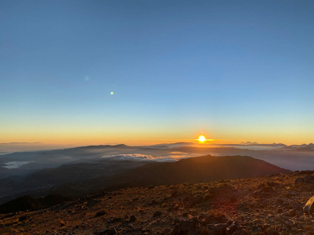
Watching the sunrise from the peak of the Tajumulco volcano is one of my favourite memories from my time in Guatemala.
Tajumulco is Central America’s tallest mountain, sitting at 4200 metres (13,800 feet) and a great volcano hike in Guatemala. Thankfully, reaching the summit is easier than it sounds, as the starting point is a way up in elevation. In fact, the total elevation gain is only 1,100 metres (3,600 feet). A LOT less than the Acatenango hike.
Having said that, the hike is still hard work as you’ll be contending with the elevation. This is the hike I found the most challenging. I was exhausted and for some reason, struggling with the altitude a lot more on this hike.
There are two options for climbing the Tajumulco volcano – you can summit it in one day or opt to camp overnight and head to the summit for sunrise. I did the latter, and wow – it was magnificent. There was something so magical about standing on the highest point in Central America and watching the sun rise.
The hike itself isn’t too bad. It’s quite steep at times but a fairly consistent climb up to the base camp. This was some of the most breathtaking scenery I’ve ever seen. From base camp, you’ll need to scramble up some rocks to reach the summit. I didn’t find this too difficult, even in the pitch black.
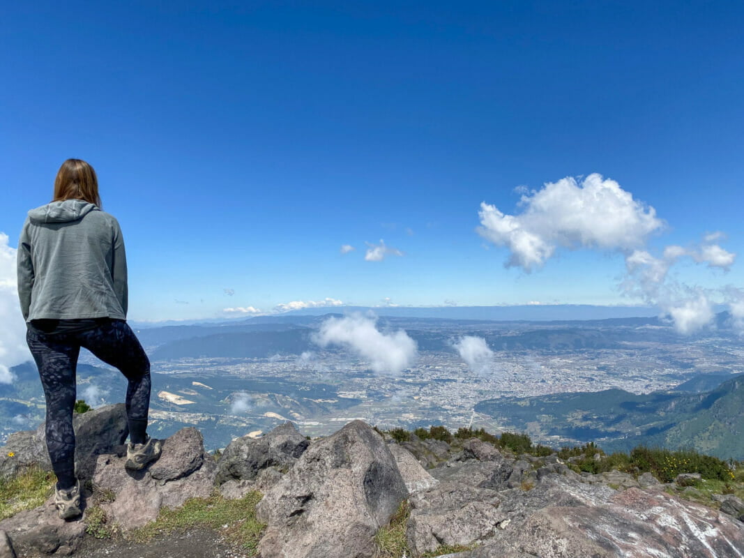
From the summit, you can see both Guatemala and Mexico. It felt like we were on top of the world. It truly is a spectacular hike.
The San Pedro Volcano
Location: Lake Atitlan
Distance: 5 miles (7km)
Elevation gain: 1200 metres (4,000 feet)
How to visit: organise through your accommodation. It’s highly recommended to have a local guide
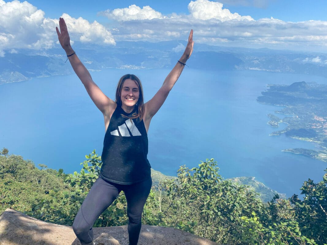
My final volcano hike in Guatemala was the San Pedro volcano at the magnificent Lake Atitlan. The hike gives you breathtaking views of the Lake as well as surrounding volcanoes and mountains. It’s beautiful!
The hike itself normally takes about five hours to complete. It’s a relatively easy trail but is consistently uphill. Despite the trail not being difficult, it’s advised to take a guide. There have reports of bandits on the trail who rob tourists. When local guides are around, this generally doesn’t happen.
There is an entrance fee to the hike of Q100 (£10 – Aug 23).
If you’re visiting Lake Atitlan, consider adding the San Pedro volcano hike to your itinerary.
Chicabal Volcano
Location: Quetzaltenango
Distance: 4.7 miles (7.6km)
Elevation gain: 650 metres (2100 feet)
How to visit: hire a local guide
The Chicabal Volcano is another shorter volcano hike in Guatemala. The Chicabal volcano is an inactive volcano in the Guatemalan highlands. The trail takes you to a mystical lagoon at the top of the volcano.
Sadly, I didn’t have time to do this hike, but there is a great guide on hiking the Chicabal volcano here.
Share this guide
