When I came to New Zealand there was one thing on my mind – hiking. As I’m writing this, I’ve been in the country for three months and have genuinely experienced some of the best hiking of my life. It’s hard to narrow down the best day hikes in New Zealand, but I’ve given it a go.
Disclaimer: New Zealand has some of the best hikes in the world and this post is by no means an extensive list. The below is simply some of my favourite hikes that I’ve done so far in this stunning country. I’ll keep updating this list as I do more hikes.
If you’re sticking to Auckland or have less time to hike, here are some great hikes in Auckland.
North Island
Pinnacles Hut Hike
Length: 8.8 miles
Elevation gain: 2,552ft
Difficulty: Moderately challenging (steps/scrambling/ladders)
Where: Coromandel Peninsula
Tips: take the Webb Creek trail
The Pinnacles Hut hike was the first ‘big’ hike we did in New Zealand and wow, were we impressed! This hike is such a hidden gem. I had found this hike very last minute and we only made the decision to do it the day before.
Even if you’re not planning to visit the Coromandel Peninsula, I’d 100% suggest adding this hike in if you have the time, especially if you love hiking. The views are something else.
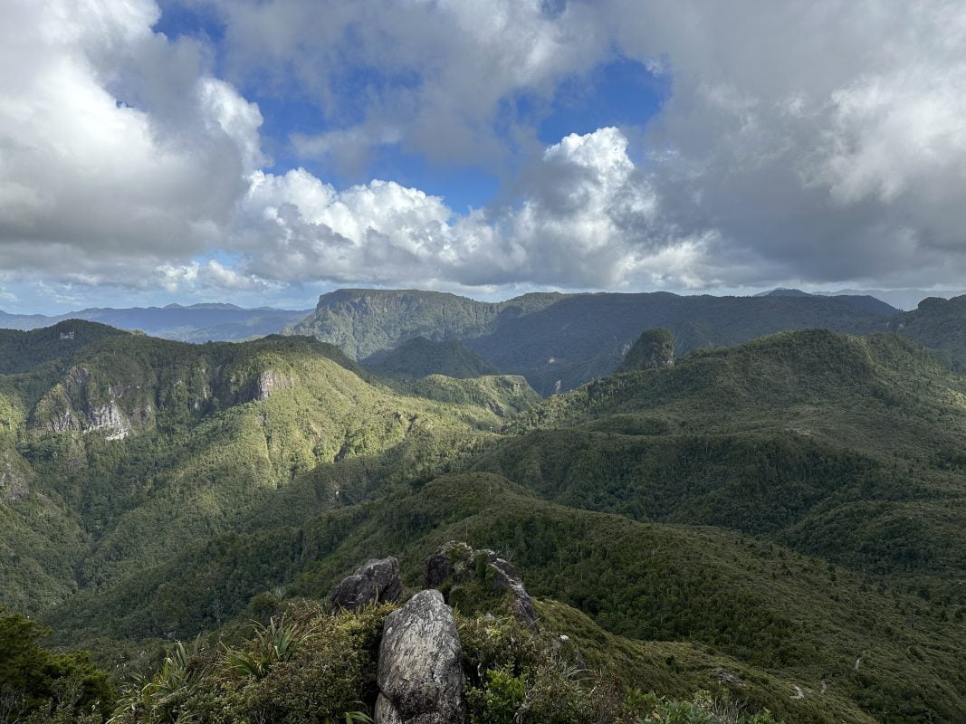
The hike starts off relatively flat and you’ll walk across some bridges before reaching the start of the main climb. I won’t lie, it’s a long slog upwards of around an hour or so. Once you break through the tree line, it settles down a bit and you’ll eventually reach the Pinnacles Hut. Make sure you don’t turn around here (as tempting as it might be). The best views are still to come.
Continue on the trail past the hut and you’ll shortly reach (more) steps. These steps feel endless but keep going, you’ll eventually have to climb some ladders and metal rungs to help you up. The views at the top are simply breath-taking. All you can see for miles and miles are mountains covered in forests with the ocean in the distance.
Read my full guide to the Pinnacles Hut hike.
Tongariro Alpine Crossing
Length: 12 miles (19.4km)
Elevation gain: 800 meters (2,600 ft)
Difficulty: Moderate
Where: Tongariro National Park, North Island (Central)
Tips: Make sure to do the hike on a nice day, plan your shuttles in advance
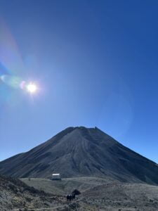
The Tongariro Crossing was one of the spots that drew me to New Zealand. I’d wanted to do this hike for so long and it didn’t disappoint. I left south east Asia early to make sure I arrived with plenty of time to do the hike before the winter hit.
The views on this hike are other-worldly and if you’re only planning to do one longer hike in New Zealand, this should be the one.
The hike is very popular and it takes some time to plan everything to sure your hike goes as smoothly as possible.
Here’s a full up-to-date guide for hiking the Tongariro Crossing.

Fanthams Peak Hike
Length: 5.2 miles (8.4km)
Elevation gain: 1,150m (3772ft)
Difficulty: Challenging / Hard
Where: Egmont National Park (New Plymouth)
Tips: There is a big scree field. Make sure you’re confident to navigate this. You can opt to stay in the Syme Hut at the peak to split the hike over two days.
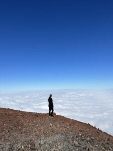
Fanthams Peak is a volcanic cone next to the Taranaki volcano. It’s one of the more challenging hikes in the area, and one of the scariest I’ve ever done.
I’ve written all about my experience hiking Fanthams Peak, but what made it difficult for me was the scree field. I’ve hiked through scree fields before, but this one was a whole new level. If you’ve never navigated a scree field before, I’d highly recommend going with someone who has, or finding another hike in the area. It’s really no joke. It’s exposed. It’s slippery. And the rocks can and will take you with them.
Despite its challenges, this is one of the best hikes I’ve ever done in my life. Maybe because it became such a mental battle that I overcame, or maybe because the panoramic views truly are sublime. Either way, I loved this hike and it truly deserves a place on this list (despite it being terrifying).
If you’re tempted by the challenge, be sure to read my full guide to hiking Fanthams Peak.
South Island
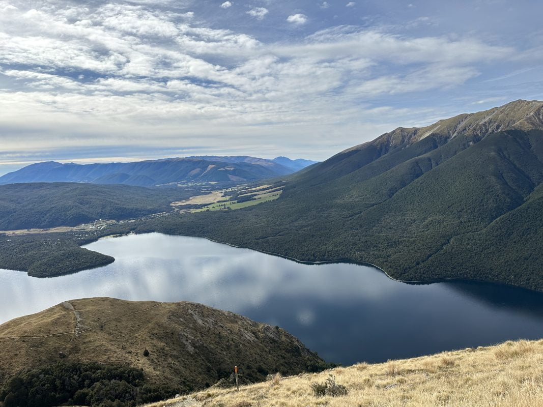
Mount Robert Circuit, Nelson Lakes
Length: 5 miles (8.5km)
Elevation gain: 642 metres (2100 ft)
Difficulty: Moderate
Where: Nelson Lakes
Tips: This is a circular walk, I’d recommend hiking up the Pinchgut track and down the Paddy’s track for the best views,
Undertaking this hike was a last-minute decision, as was visiting Nelson Lakes. I genuinely believe it’s a very underrated area of New Zealand and if you’re an avid hiker, I’d highly recommend visiting here.
The hike itself is relatively straightforward. You hike up on Pinchgut Track through the forest and eventually reach the treeline. After this, the hike becomes more exposed at this point but starts to gradually flatten out. Once you reach the ridgeline, you’re rewarded with incredible views of the surrounding area.
You can keep following the path and come down a different way on the Paddy’s Track.
The hike is by no means technical or overly challenging, but it is steep. Having said that, anyone with relatively good fitness should be able to complete the hike.
There are two car parks for the hike – the upper car park and the lower car park. I’d suggest parking in the lower car park and getting the uphill walk to the Pinchgut track out the way early on.
Colorado is another epic hiking destination – check out 14 terrific 14ers near Denver.
Hooker Valley Track
Length: 6.2 miles (10km)
Elevation gain: Very little
Difficulty: Easy
Where: Mount Cook National Park
Tips: Go early to avoid the crowds
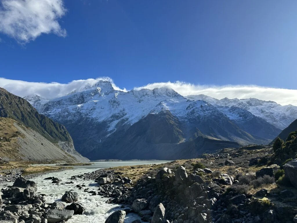
The Hooker Valley Track is one of the most popular hikes in the South Island, and maybe all of New Zealand. It’s relatively flat and accessible, making it an easy way to some of the most sublime scenery. Apart from a few steps, the hike is almost flat.
Once you leave the car park, you’ll walk for around ten minutes to the viewpoint of the first suspension bridge. This is one of my favourite views. Keep walking along the path and cross the bridges until you reach Hooker Lake. If you’re lucky, you’ll get to see Mount Cook in all her glory and maybe even some icebergs on the lake.
I’d suggest doing the hike at sunrise to avoid the crowds. It can get very busy.
Plan how to spend one day in Mount Cook National Park.
Mount John Hike
Length: 5 miles (8.2km) (loop)
Elevation gain: 393 metres (1200 ft)
Difficulty: Moderate
Where: Tekapo
Tips: Go on a clear day for the best views
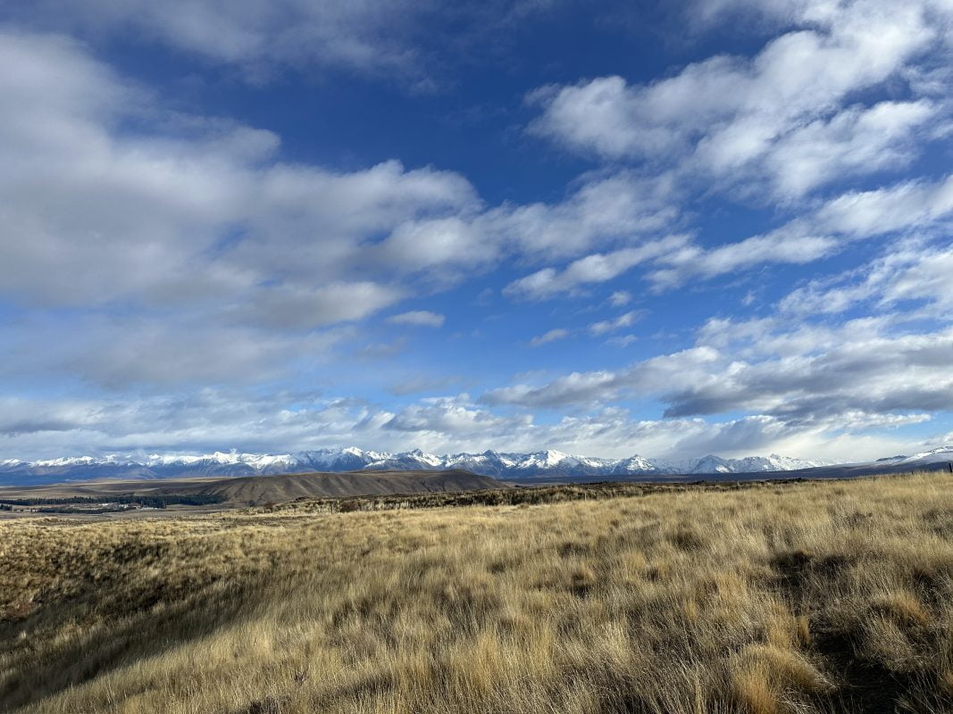
The Mount John hike is a short hike which rewards hikers with stunning panoramic views of Lake Tekapo and the surrounding mountains.
It’s only about an hour to the top (depending on your pace) and although steep at times, is suitable for all the family. Once you’re at the top and have admired the views, you can also check out some of the billion-dollar stargazing equipment.
The hike starts right next to the hot springs. You’ll walk uphill through the forest and eventually reach the top. Go up the steps and follow signs to the café.
You can do a loop and come down a different way, but this adds quite a bit of time so I’d suggest coming back down the way you went.
There is a café at the top which is open most days.
Roy’s Peak
Length: 10 miles (16km)
Elevation gain: 1300 meters (4200ft)
Difficulty: Challenging (steep but by no means technical)
Where: Wanaka
Tips: Hike up at sunrise
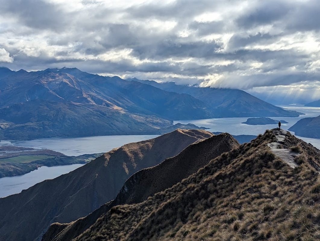
This hike has grown in popularity after becoming a bit of a hit on social media. After a long hike up, you are rewarded with jaw-dropping views of the Lake Wanaka and get the chance to take THAT famous shot.
It’s fair to say the demographic of people we saw on this hike were slightly different to normal. Don’t let its popularity put you off though. If you go on a clear day, it really is beautiful.
It will take you around 2-3 hours to reach the viewpoint for the famous photo. It’s incredibly steep at times so take your time. Thankfully, the views on the way up are stunning which make it worth while.
More hikes coming soon.
Isthmus Peak
Length: 9.7 miles (15.6km)
Elevation gain: 1385 metres (4500ft)
Difficulty: moderate
Terrain: Dirt path with some rocks/gravel
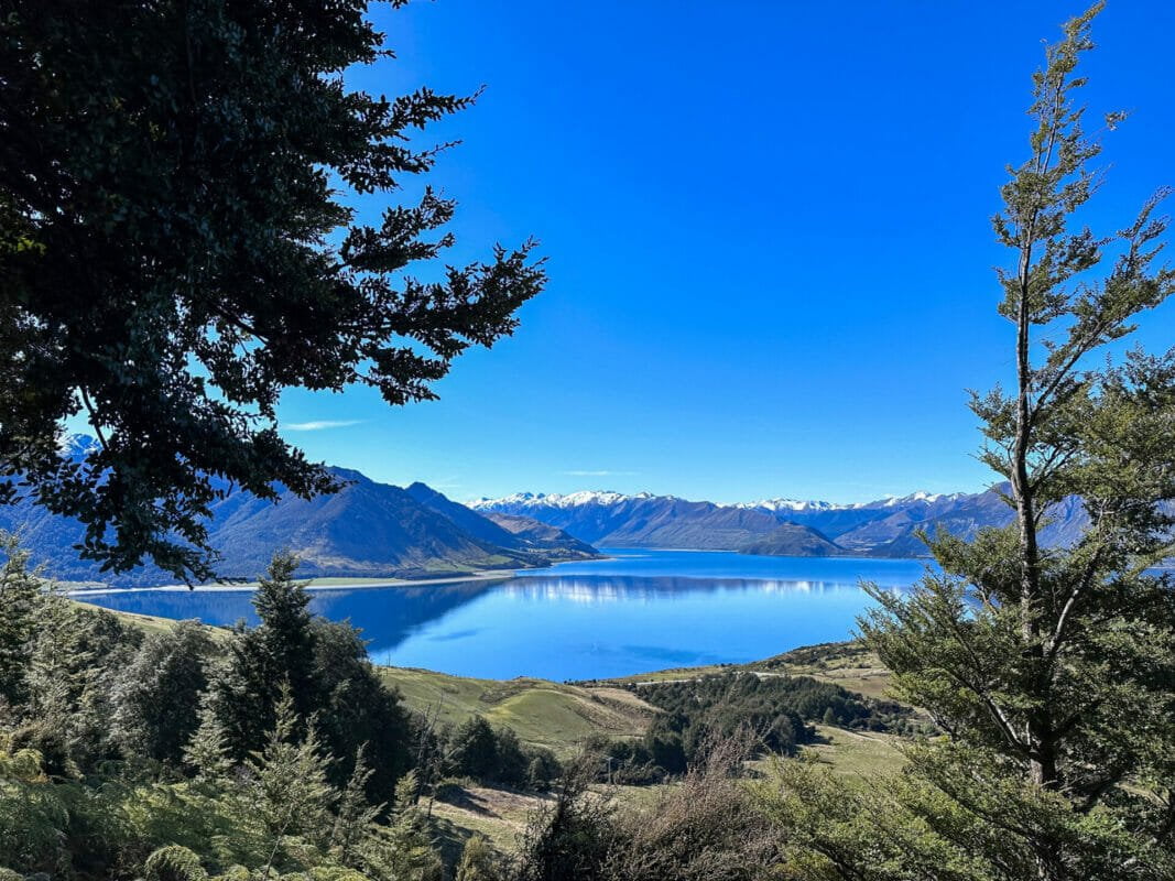
Isthmus Peak is another hike based in Wanaka and easily rivals that of the nearby Roys Peak. In fact, if you’re looking for a hike just as rewarding but with less crowds, I’d choose Isthmus Peak over Roys.
As you climb up to the peak, you’ll have awe-inspiring views of Lake Hawea. At the summit, you’re rewarded with incredible views of Lake Wanaka.
Isthmus Peak is one of my favourite hikes in New Zealand.
